The Tsankawi Loop Trail is a 1.5 lasso loop in a detached section of Bandelier National Monument in northwest New Mexico. The trailhead is 11 miles northeast of the turnoff to the main Bandelier Visitor Center along New Mexico Route 4.

The trail visits an unexcavated large Ancestral Pueblo Ruins site on the mesa top and some cliff dwellings along the cliff face. This site was occupied in the 1400s by the Tewa people who today live at San Ildefonso Pueblo. It is interesting that the Tewa language is different than the Keres language spoken by the Pueblo people living in the Frijoles Canyon part of Bandelier only 14 miles away.

There is a printed trail guide describing 20 interpretive stops available at the trailhead for $0.50 cents. The first trail segment leads to a ladder that climbs to the lower level of cliffs. A short distance later the loop begins and the route stays to the left.


On the way up there is a good petroglyph panel. Past the petroglyph panel there is a choice of climbing a ladder or climbing up through a section of trench trail. I thought the ladder looked like the easier choice. This climb is to the upper cliff where there are great views of the surrounding area.
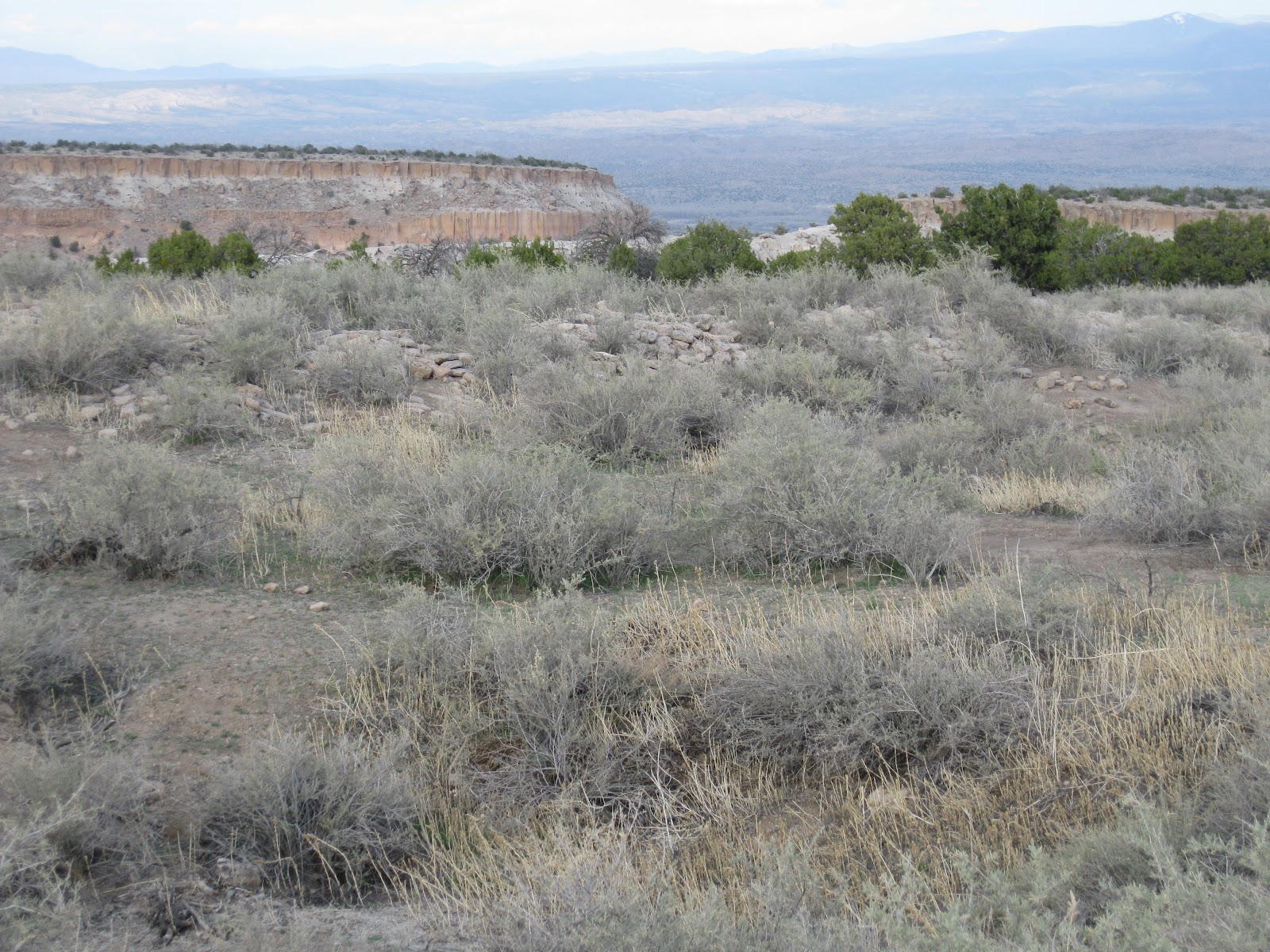
The Tsankawi name means “village between two canyons at the clump of sharp round cacti.” The extensive pueblo appears as low rubble piles overgrown with brush. The trail guide says there are about 275 ground floor rooms surrounding a central plaza. Visitors are asked to stay on the trail but the broad extent of the rubble piles is impressive.

As the trail approaches the descent off the mesa top, there are some large vertically placed stones that are thought to be part of a reservoir. Summer rains dripping off the pueblo and plaza may have been captured here.

The ladder descent off the mesa top is a little trickier than the way up and the trail guide points out that you can return the way you came.
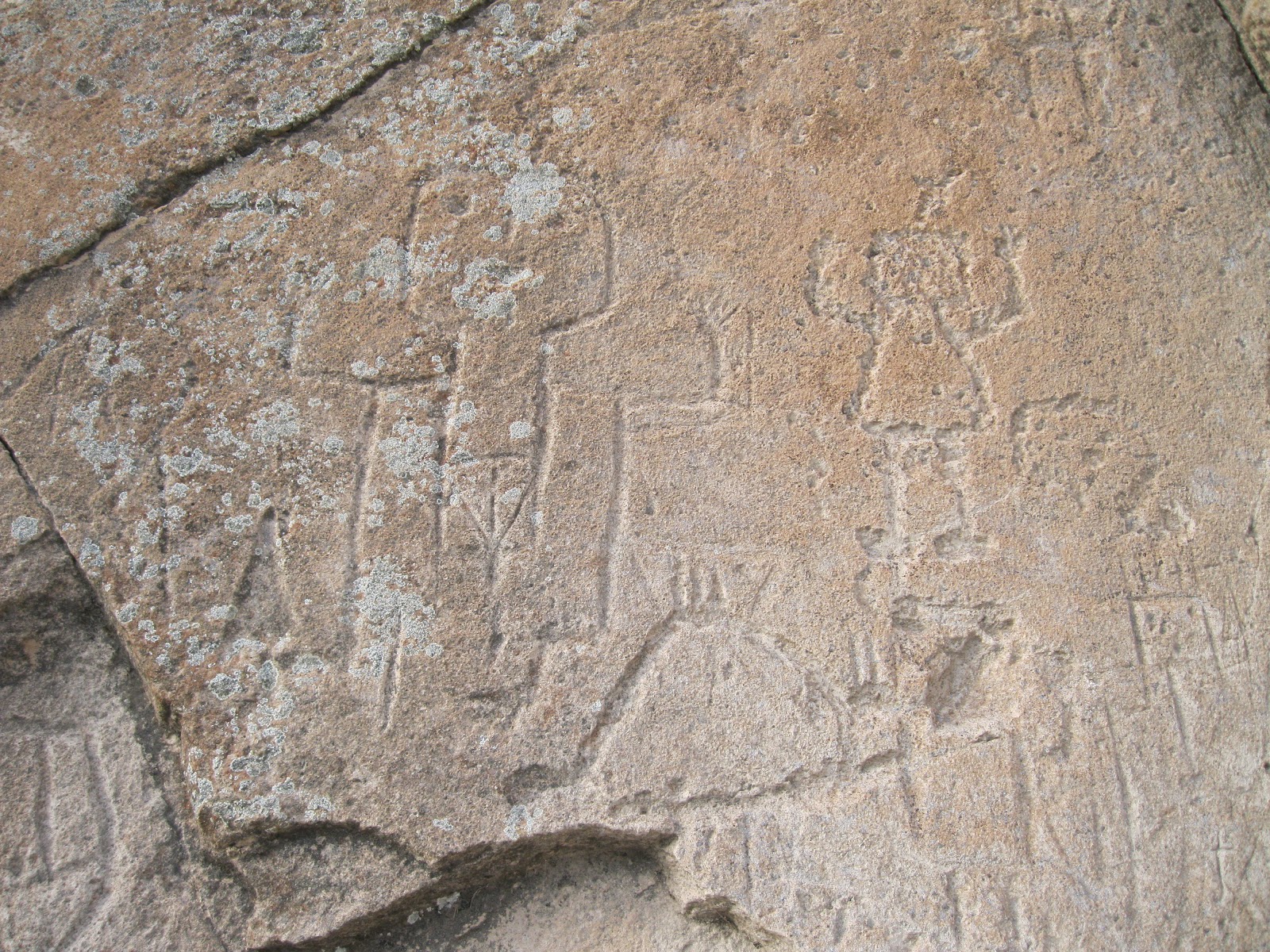
The trail segment below has many of the cliff dwelling cavities and many more petroglyphs to view. One of the ones I noticed looked like a flute player standing on the shoulders of another figure.

These south facing cliffs receive more direct sunlight in the winter. The rock absorbs some of the heat and helps keep the inhabitants warm in cold weather. These cliffs overlook a valley where the farming of corn, beans, and squash took place. My hike took 1:30 hours on a 65 F degree early April afternoon. I didn't see any other hikers while I was on the trail.
No comments:
Post a Comment