Sunday, February 13, 2011

White House Ruins Rock Art

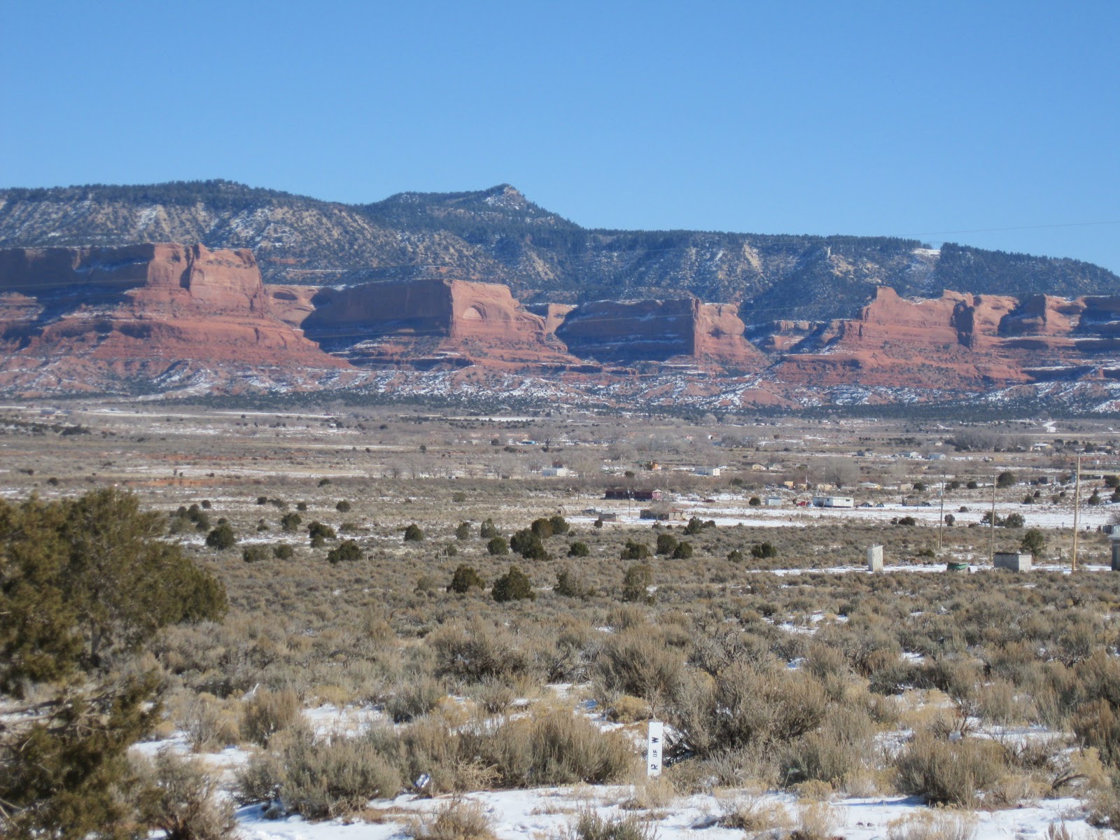
The White House Ruins Trail is a 2.5 or 3 mile round trip with 600 feet of elevation change at Canyon de Chelly National Monument in northeast Arizona. There are several examples of pictograph rock art to find while viewing the ruins.


The most obvious images are on the sandstone surface between the upper and lower structures. There is a protective fence that prevents close inspection, so binoculars are helpful to see these details. There is also a group of images at about the same level to the left of the structures.


The human image is the most obvious. This type of image is found at other sites in the Four Corners region, sometimes as a pictograph and sometimes as a petroglyph. There is a very similar pictograph image near Sipapu Bridge in Natural Bridges National Monument in the Cedar Mesa area of Utah and a similar petroglyph along the Penasco Blanco Trail at Chaco Canyon in New Mexico. There is a line of white spots to the left of the human figure that might be easily overlooked.
 

The panel to the left of the structures has at least four images. I noticed on this visit that there are historic inscriptions on the white plaster of the central room of the upper structures. These aren’t very noticeable from casual viewing but show up clearly with binoculars.


The oldest that I could see was J.W. Conway, Santa Fe, September 24, 1873. There are at least two others, one by J.W. Ellison in 1884 and another by Harold Bonnstetter 2/7/1923. I tried a computer search for JW Conway but couldn’t discover who he was or why he was here in 1873. This reminds me of the Inscription Rock at El Moro National Monument south of Gallup, New Mexico where several hundred years of travelers inscriptions, including many in Spanish, are on display.
 

To the right of the White House Ruins there is a small alcove. I looked into the alcove with binoculars and thought that I could see two flute player pictographs on the back wall. My attempts at getting a picture didn’t show anything so I’m not sure. This alcove is also protected with a fence, so the views are from at least 100 feet away. 

My hike took 1:45 hours on a 36 F degree mid February day. I saw 5 other hikers and 3 Navajo vendors during my hike, and 4 horses grazing near the ruins.

Canyon de Chelly Junction Overlook

 The Junction Overlook at Canyon de Chelly in northeast Arizona is the third overlook along the south rim drive. The view is toward the junction of the Canyon Del Muerto arm to the north and the Canyon de Chelly arm to the south.

The interpretive signs at the view point emphasize the geology of the canyon. The Shinarump Conglomerate on the surface was deposited 170 million years ago and the de Chelly sandstone that forms the sheer walls has been here for 230 million years. The floor layer is named the Supai Formation from 280 million years ago.
There are two Ancestral Pueblo Ruins sites visible from the Junction Overlook. To the left is First Ruins. It appears to be a fairly large site sitting well above the canyon floor.
 
To the right is the Junction Ruins also in an alcove above the canyon floor. The views of these two sites are from a long distance and binoculars are needed to see much. These two sites are more than 700 years old and were abandoned around 1300 AD for reasons that aren’t clear.
                                            

Saturday, February 12, 2011

Round Rock, Rock Point and Lukachukai-Flat Rock Scenic Drive

Round Rock and Little Round Rock are eye catching formations in the Chinle Valley region of the Navajo Nation in northeast Arizona. This pair of buttes sits between the Lukachukai Mountains to the east and the ground rising toward Black Mesa in the west.


One of the many scenic drives in Navajo country is the combination of Highway 191 south from Mexican Water, AZ to the Round Rock Chapter, then continuing south on Navajo Route 12 to Tsailie. The Highway 191 segment and then continuing on to Many Farms is called the Flat Rock Mesa Scenic By-way.


Both routes are scenic and lead toward the spectacular Canyon de Chelly. I think the base of Round Rock is the soft Chinle Layer supporting steep sandstone cliffs, probably the Wingate layer. From the right angles, it appears that Round Rock has an arch on the western side.


North of Round Rock, the Rock Point Chapter area features sandstone outcrops, mesas, and monument formations similar to Monument Valley. One of the most obvious is Whale Rock resembling a surfacing whale. Some of the small pinnacles may have cultural significance as part of the traditional Navajo religion.

South of Round Rock, the next community is Lukachukai, sitting along the base of the Lukachukai Mountains. At Lukachukai, Navajo Route 13 is another scenic drive crossing the mountains at Buffalo Pass and descending on the east side into Cove and on to Shiprock, New Mexico.


At the junction of Navajo 12 and Navajo 64 there are views of the square topped Roof Butte. Route 64 leads to three north rim overlooks of Canyon de Chelly and is part of the Among the People Scenic Road that continues south to Fort Defiance and Window Rock, AZ.

18407_$5 Shipping on Orders of $99 or More!

Saturday, February 5, 2011

Inside Aztec Ruins

The self guiding tour at Aztec Ruins has 22 stops along a 700 yard trail. Stops 7 to 12 pass through a series of rooms just inside the north wall, giving an intimate view of the interior of this very large structure.

Aztec Ruins is located in Aztec, New Mexico along the north bank of the Animas River. It sits about halfway between the spectacular sites of Chaco Canyon and Mesa Verde and shows influences from both areas.


 The trail guide at Aztec Ruins features both a western scientific description and a more personal poetic description. The poetic version emphasizes that the inner rooms are intimate spaces where food was prepared, children played and the grandparents told stories. As you pass through here, smell the aroma of corn and venison stew simmering in clay pots over a fire of Utah Juniper and Pinon Pine wood.

While passing through the low passage ways, there are sideways views into adjacent rooms through plexi-glass windows. There are close up views of the brickwork and there are several examples of grinding stones. On the exterior wall, there are small openings allowing a small amount of light to enter. Otherwise, these rooms would be quite dark.
 
Stop 11 shows an original mat of willows sewn with yucca cord. These rooms did not have hinged doors but instead used mats, hides, slabs, or feather blankets to block the drafts. Along with the mat is a frame of plastered poles. Men and boys wove the cotton cloth and yucca fiber blankets. Women made pottery and ground corn on the stones. There was a natural rhythm to their life, keeping time to the natural cycles.

The ceilings have spruce, fir, or pine beams set into the masonry walls. These large trees species are not available in the immediate vicinity of Aztec Ruins. Upstream on the Animas River are the San Juan Mountains where Ponderosa Pines, Engelmann Spruce, and Douglas Firs grow, but the distance to move the trees is at least 20 miles. The overlying poles are Aspens supporting a layer of Utah Juniper or rush mats. On top of the mats is a layer of compacted soil.

The interior tour passes out into the plaza area toward the east end of the overall site. Visitors are called on to imagine the scene of a ritual dance. Drummers and dancers emerge from the Great Kiva, welcoming the morning sun, forming male and female lines, the two lines of human life. All are invited “to remember to remember” who they are, and their relationship to each other, the ancestors, and to the Earth Mother.

Excavations in the plaza area found a deeper layer of pottery that resembled the Chaco Canyon style to the south. The upper layer pottery more resembled the Mesa Verde style from 40 miles to the north. As climate or other factors changed, the major influence on Aztec Ruins shifted between these two centers.

In the small on site museum there are displays of pottery including the unusual spiky pot that is thought to resemble the seed pod of the Datura or Jimson Weed. There is a similar style pot on display at the Anasazi 
Heritage Center near Dolores, Colorado.

 528669_Russell Womens Fleece Hoodie Banner 18407_$5 Shipping on Orders of $99 or More!

Animas River near Aztec Ruins

The Aztec Ruins in Aztec, New Mexico is referred to as “the place by flowing waters.” At nearby Riverside Park, there is a 1.5 mile loop trail that provides good views of the flowing Animas River. In the future, this trail may be extended to the Aztec Ruins site. The Riverside Park is a short distance south of the junction of Highways 516 and 574, about 0.5 miles west of the Historic District of Aztec.

The trail segment along the north river bank is paved and there is a wood chip return segment along an irrigation ditch. The east end of the paved segment ends near the Highway 516 bridges that cross the river. At the east end, there is also a local conservation project with some wetlands and some vegetation restoration efforts.
I saw a Bald Eagle perched in one of the tall cottonwoods along the south side of the river, in easy sight from the paved trail. Not many Bald Eagles nest in the Four Corners area, but they are often seen in winter months near the rivers and reservoirs. The river section below the eagle perch was busy with Mallard ducks and Canada geese.
The west end of the trail passes by an Animas River access point with a map of the Animas and San Juan River system. Near the west end there is also a pedestrian bridge connecting to more parkland on the south side of the river.
From the pedestrian bridge it is about 0.5 miles east along city streets to the Historic Aztec District. At Aztec Ruins I picked up a walking guide booklet that maps out the historic buildings and sites, mostly houses from the early 1900s. Many of the historic buildings are along Main Street with early houses and churches along Church Street.

Another attraction of the Historic District is the Aztec Museum and Pioneer Village. In early February 2011, the museum was closed for renovation but some of the many artifacts are visible through the fence, including old machinery and even some entire small buildings. I visited the Animas River and Aztec area on a 35 F degree sunny early February day. Snow was cleared from the trails and walking was easy.