The Animas River Walk is a 6 mile trail system along the Animas River in Farmington, New Mexico. Two thirds of New Mexico surface water flows through the Farmington area at the confluence of the Animas, San Juan, and LaPlata Rivers.
For many years Farmington relied on the water for its growth as an agricultural town, though in recent years energy resources have taken a leading role. Several donations of land along the river corridor have helped create a scenic and relaxing trail in the main market town in the Four Corners.
I started hiking on the west end near the Berg Park area. Several segments of main trail have a brickwork surface. In winter, the very large preserved cottonwood trees stand out.
I saw signs later on that mention
Fremont Cottonwoods as the most common and
Narrowleaf Cottonwoods as the rarest. There are several brick plaza areas along the way. The
River Reach Terrace has a large map showing the highlights of the River Walk.
There are two bridges crossing the Animas River with trail segments on both sides of the river between the bridges. There are several parallel trails, some staying close to the river banks and some winding through woodlands areas. In the segment between the bridges many Mallard ducks and Canada geese use the river. There are signs posted advising visitors what is good duck food and what is bad.
On the north side plaza there is an all veterans memorial with a monument and historical review of every United States war beginning with the Revolutionary War. Each service has a small monument and all the regional flags are on the display.
Toward the east end of the area there is the
River Reach Landing and a
White Water Park area. There is a map showing the where the landing areas are along the Animas and San Juan Rivers.
An unusual feature in a natural area is an
interpretive display of a natural gas well. This operating well is described as being 1350 feet deep and brings up a water and gas mix to the surface where the fluids are separated and partially processed.
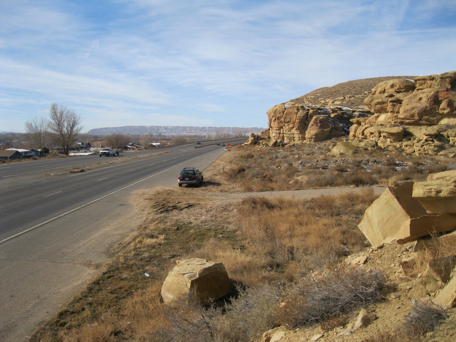
There is a
geologic map of the regional layers from 8000 feet above sea level to 8000 feet below. The interpretive signs show the well penetrating to the Morrison Formation, which is visible on the surface near Moab, Utah and other Four Corners locations.
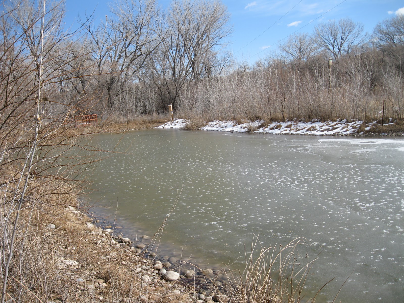
The east end of the River Walk features the
Riverside Nature Center with views of preserved wetlands along a nature trail. Watch out for prairie dog holes near the Nature Center. There are a few interpretive signs that mention the birds common in the area. Some of the birds mentioned include quail and pheasants, Red Tailed and Coopers hawks, and magpies, along with the Mallards and Canada geese. There are some large nesting boxes near the wetlands area.
I spent 1:45 hours on the River Walk on a 42 F degree mid January day. I hiked about 4 miles including some of the side trail options but not all of them. The main trail and most of the side trails were cleared of snow and park workers were working on the trail even as I was hiking.